Maps
The world’s best selection of up-to-date, 2D, HD, aerial and satellite maps to plan your events.
The highest quality maps to plan events
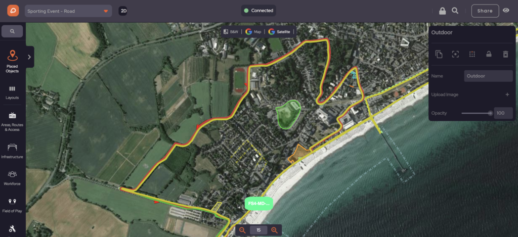
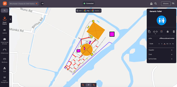
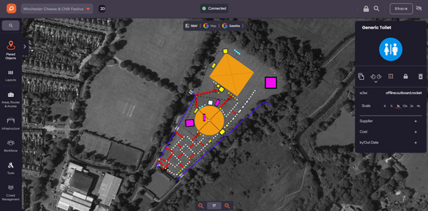
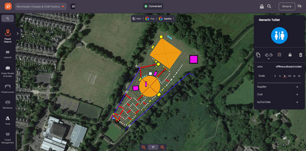
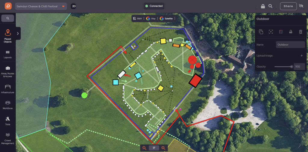
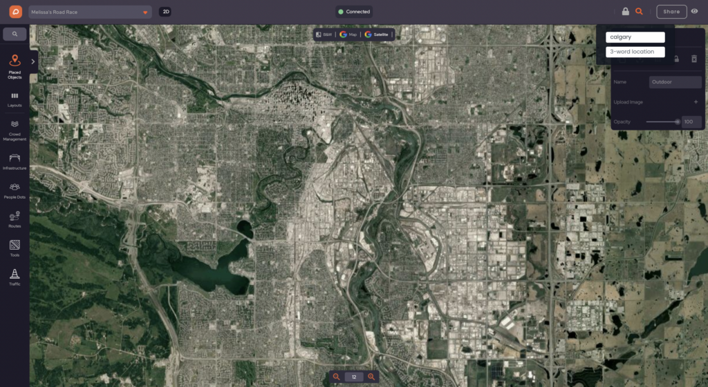
View and switch between high-resolution mapsPlan your event on high-resolution map imagery and images of global locations with multiple options including aerial, satellite, black and white, and high-resolution mapsPlan your event on high-resolution map imagery.
Upgrade to HD Maps
Plan in high resolution in some countries, for greater clarity and to select the date when the aerial imagery was taken.
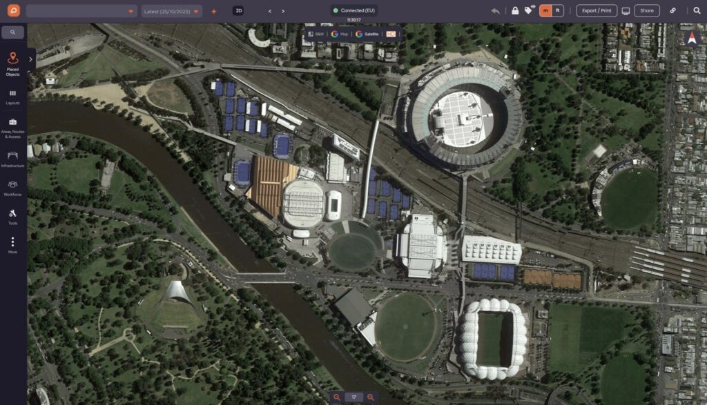
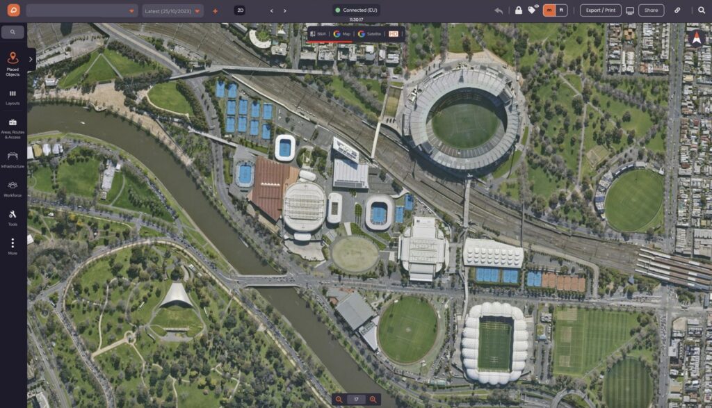
Aerial images from planes and drones, available in OnePlan
OnePlan can provide the highest quality map views for your planning. This includes aerial images taken from planes and drones, giving you next-level accuracy.
As this requires Government authorisation, this service is currently limited to certain locations including the UK, USA, Australia and New Zealand.
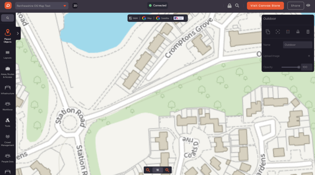
UK Ordnance Survey mapping
In the UK, we offer direct access to Ordnance Survey mapping, providing accurate base plans for the whole of the UK with accurate and up-to-date road and path layouts.
This can be viewed in colour or grayscale, so you can fully customise how you want your site plans to be displayed.
Need help designing your event site?
Our Core Features
Learn more about our solutions
One dashboard. Multiple event planning and management tools to plan your event site.
💬 Testimonials
What our customers say about OnePlan


